
Finding a San Bruno Street Household
A useful street directory follows the stable land key first. Formatted street addresses can change, lose directional words, or appear under a historic name. An APN and legal description give the county and recorder a firmer bridge. The map shows a parcel, not its occupants. A deed shows parties to a recorded transaction, not everyone who uses the address. Permits show project participants and inspections, not a complete household. Keep each conclusion tied to the record that actually supports it.
Run the chain in this order. It keeps modern parcel work separate from historical directory work and creates a clean trail for a later resident lookup.
- Enter the address in the San Mateo County property gateway and note the APN, situs context, city boundary, ZIP layer, and map location.
- Open the adjacent parcels in the public viewer. Save the APNs rather than guessing household names from a map.
- Use the assessor route for assessment or mailing context, then label that information as ownership evidence rather than residence proof.
- Use the current deed party and date to search RecorderWorks, then follow the prior grantor and the same legal description backward.
- Search San Bruno permit systems for project, inspection, and address history. Pair modern results with older files, directories, census schedules, and newspapers.
Note: A street-by-street conclusion is strongest when APN, record date, document type, and source office remain together in the research notes.
Turn San Bruno Addresses Into APNs
The San Mateo County GIS and property gateway is the first stop for an address-keyed search. The county viewer can display Active Parcels, ZIP Codes, City Boundaries, election precincts, legislative and supervisorial districts, subdivision and parcel maps, records of survey, corner records, assessor maps, contours, and tax-rate areas. Search an address or APN, accept the viewer disclaimer, identify the polygon, and record the parcel number before moving to another office.
San Bruno's old east-side grid and newer western hillside subdivisions do not present the same visual pattern. Curved roads, hillside lots, and map layers can make a formatted address look less stable than the land unit beneath it. The county parcel REST layer supports query, find, and identify operations, with a response cap of 2,000 records. That is a mapping capability, not a bulk resident search. No public owner-name search was verified through the GIS gateway. The county public viewer is the source for the parcel capture below.
The county public viewer capture shows the parcel-first starting point. After a polygon is identified, pan and click the lots around it instead of treating the map as a list of residents.
- Parcel
- A mapped land unit with an APN. Adjacent parcels can touch without sharing a household.
- Situs address
- The physical location of the land. It differs from a mailing address used for notices.
- Plat
- A recorded map that depicts lots, streets, easements, or subdivision lines.
- Legal description
- The deed's formal land description, useful when a street number or name has changed.
San Bruno Street Property Search Fields
Public property work is mostly address, APN, and map based. An owner-name web search was not verified, so an address should be carried into the assessor or counter route rather than assumed to work as a name query. The county GIS service can identify parcel geometry and layers. ACRE assessor information can add assessment, ownership, and mailing context, but title and occupancy still require corroboration.
| Field or control | What it does | Interpretation |
|---|---|---|
| Address | Finds a parcel by a situs-style location | Confirm the city and street spelling before relying on the match |
| APN | Uses the county parcel identifier | Best bridge among GIS, assessor, permits, and deeds |
| Map identify | Returns the polygon and configured layer data | Shows land geography, not a household list |
| Layer toggle | Turns on ZIP, city, precinct, zoning, survey, and district context | Useful for boundary checks and record jurisdiction |
| Query or find | Searches the parcel service or map data | Results are capped and do not prove present occupancy |
The separate assessor parcel layer is also documented as queryable. Its schema can support a parcel-level inspection, but the research did not verify a public owner-name field. Keep screenshots and notes to the fields actually returned. If the map and a tax document disagree, ask the Assessor's office which current record controls rather than merging the two silently.
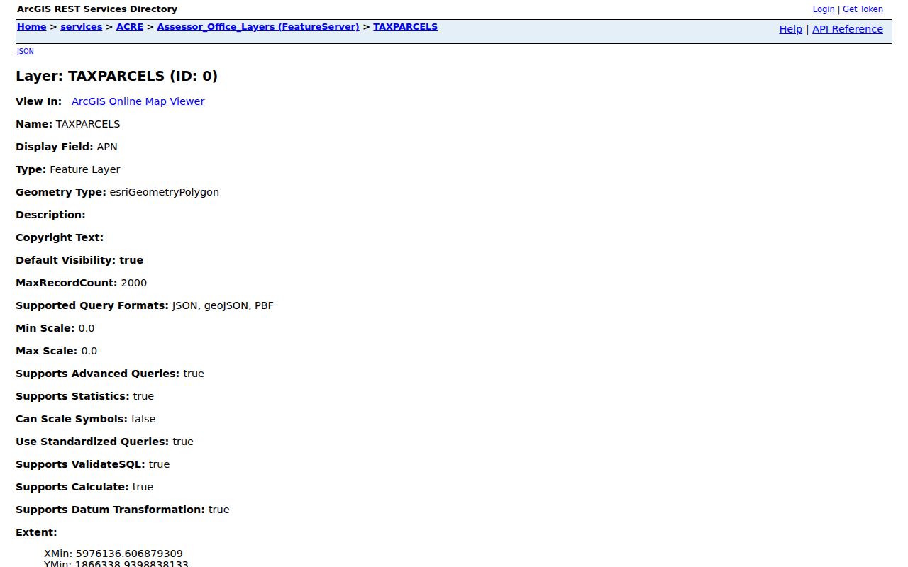
The assessor parcel-layer capture illustrates a machine-readable county map source. It is useful for locating and comparing land units, not for naming every person at an address.
San Bruno Street Records by Address
Several record sets can be joined by a street address or APN, but each has a different blind spot. This coverage table is the practical center of a San Bruno street directory. It separates the land, title, project, historical, and election layers before they are compared.
| Record set | Keeper | Street evidence | Access |
|---|---|---|---|
| Parcel GIS | San Mateo County | Boundaries, APNs, city, ZIP, precinct, zoning, and adjacent lots | Free public viewer |
| Assessor information | ACRE Assessor | Assessment, ownership and mailing context | Portal or counter |
| Recorded instruments | ACRE Recorder | Parties, instrument type, recording date, number, and legal description | RecorderWorks, counter, or copy order |
| Permits and plans | San Bruno Building Division | Project tasks, inspections, applicants, contractors, and work dates | Online tools or city follow-up |
| Polk telephone volumes | San Bruno Public Library | Listed subscriber, telephone, and address snapshots | In-library, 1950, 1953, 1955, 1959 |
| Voter file | San Mateo Elections | Qualified voter residence and precinct information | Application, fee, purpose, and safeguards |
The chain works because an APN can connect a map to an assessor inquiry and a deed's legal description. It fails when a user assumes that an owner is the only occupant, that a permit applicant is a resident, or that a directory subscriber represents every person at the property. For old addresses, San Bruno Road and present-day San Mateo Avenue are a documented continuity warning that still needs parcel and deed confirmation.
Browse San Bruno Parcel Layers
After the first parcel is identified, turn on only the layers that answer the next question. ZIP and city boundaries help explain why a postal search and an incorporated-city search can disagree. Precinct and district layers show election geography without opening a casual voter list. Survey, subdivision, corner, and assessor-map layers help reconcile a legal description with a modern street label. The visual click-and-pan method is especially useful for adjacent lots because no verified buffer or radius control was found.
Save the APN for each adjacent polygon and follow them independently. A block can contain parcels with different legal descriptions, ownership dates, zoning, and permit history. A map is a way to choose the next official record. It is not permission to infer who lives behind every door. The San Bruno parcel-information gateway supplies city zoning, General Plan maps, permit status, and archived-plan context.
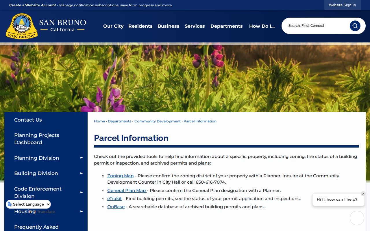
The San Bruno parcel-information capture shows how the city context complements the county parcel map.
Follow San Bruno's Deed Chain
RecorderWorks states that party-name indexing begins in 1985. Search the current owner as a grantee around the acquisition date and narrow by deed type. Copy the document or inspect it at the office. Write down the grantor, grantee, recording number, recording date, legal description, and APN. Then search that grantor as an earlier grantee and require the same land description before treating the next result as a predecessor.
The RecorderWorks name route is not the only access channel. Known pre-1985 document numbers or dates may still retrieve through the portal, while a pre-1985 name search goes to the Recorder's counter and index books. ACRE also accepts a properly identified copy request. The RecorderWorks entry point and the county office instructions should be used together because the web display suppresses property-owner names for identity-theft protection.
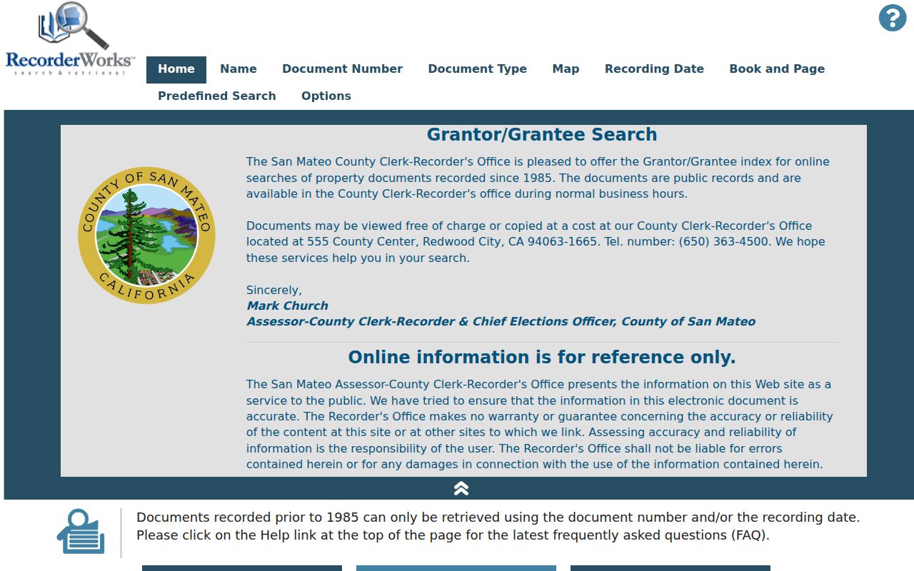
The RecorderWorks capture shows the deed-index route in the local street directory chain. It identifies recorded instruments and parties, not current occupants or a complete resident history.
Read San Bruno Work by Address
San Bruno's permit history has more than one era. MGO Connect covers current permits and project tasks from July 1, 2024. Legacy permits and plans are associated with eTRAKiT, OnBase, and the city counter, but a verified start year for the older files was not published. The city Building Division and its online permitting route can connect an address to permit number, type, status, issue or final date, contractor, inspection history, and project activity when the public record contains those fields.
A permit party may be an owner, agent, contractor, or applicant. That role must be quoted accurately. It is evidence that a person or entity was named in a project file, not proof of residence. When a permit is missing from the web interface, a focused city request should name the address or APN, project number, date range, and requested file type. The San Bruno Building Division page is the source for the permit-center capture below.
The San Bruno Building Division screenshot represents an address research route, not a guarantee that every legacy plan or private contact field is public.
San Bruno Grid and Hillside Streets
San Bruno's street geography changes the way a parcel search reads. The eastern half follows an early twentieth-century grid, while post-1950 western hillside subdivisions curve around the terrain. I-280 separates the two broad patterns, with San Bruno Avenue, Sneath, Crystal Springs, and Jenevein or Whitman connections acting as useful orientation lines. I-380, El Camino Real, and Skyline add larger axes and boundary clues.
One ZIP can span both the east grid and the western hills. A city boundary, ZIP layer, and street label should therefore be checked separately. If an old newspaper or directory uses a neighborhood name such as San Bruno Park, Belle Air Park, or Lomita Park, carry the parcel and map keys forward instead of forcing the old label into a current search field.
San Bruno 1950s Polk Snapshots
The San Bruno Public Library holds Polk telephone directories for 1950, 1953, 1955, and 1959. A listing normally supplies a subscriber name, address, and telephone number, with business classification possible. The catalog does not verify a reverse section, spouse notation, occupation field, or owner or occupant marks. A listed subscriber is one identity clue at one date, not an all-person street directory.
Compare all four volumes. A first appearance can bracket an arrival, while a last appearance can bracket a departure, account change, or name change. Search the San Bruno Herald around the change, then add clipping files, a yearbook, or the 1950 census when the household connection matters. The historical collection is the full fallback when modern systems begin too late or suppress names; the San Bruno directory-book page keeps those holdings distinct from current street records.
The library history collection instructions say most items are retrieved from storage at the Reference Desk. A photo ID or library card is held while viewing, appointments are appreciated, and copying depends on staff approval, item condition, and a fee.
What San Bruno's Street Directory Cannot Show
No public San Bruno street directory systematically lists every occupant, household member, utility customer, delivery recipient, or protected voter. DMV address data is protected by the federal Driver's Privacy Protection Act. Utilities and private delivery records are not public resident rolls. A deed can show title parties, an assessor record can show mailing context, and a Polk volume can show a subscriber, but none of those sources proves who is inside a property today. The street directory answer is a bounded record trail, not a household census.
California voter information has its own barrier. My Voter Status is for the voter's authenticated record. A full county or statewide file needs a statutory purpose, application, identity documents, fee, security plan, and limits on use. The San Mateo County Elections service page describes the local election channel. Safe at Home participants and other protected voters may be absent from public-facing data. A missing name is not evidence that the person does not live in San Bruno.
Lawful use. Address records are appropriate for personal research, family history, property curiosity, and civic work. Do not use a street directory to stalk, harass, intimidate, or harm anyone. California law can impose criminal or civil consequences for misuse.