
San Bruno ZIP Codes, Mapped
The local ZIP picture is narrower than a generic postal list suggests. 94066 is the only ZIP consistently assigned to ordinary San Bruno postal addresses in the research. 94080 belongs to South San Francisco immediately north, although a city environmental appendix contains an edge-site row that merits address-by-address verification. 94128 is assigned to San Francisco International Airport. The table keeps those roles separate.
| ZIP | Areas covered or role | Post office | Notes |
|---|---|---|---|
| 94066 | Ordinary San Bruno addresses in the east grid, downtown, and western hillside subdivisions | San Bruno postal city | Specific station name and address were not verified |
| 94080 | South San Francisco immediately north | South San Francisco | Not a second general San Bruno ZIP; verify edge-site exceptions |
| 94128 | San Francisco International Airport | SFO | Airport-adjacent, assigned to San Francisco, not a San Bruno resident ZIP |
The local ZIP list should never pad San Bruno with Millbrae 94030, South San Francisco 94080, or SFO 94128. The postal assignment belongs to the address. A county map can show context, but USPS is the final address-level check.
San Bruno ZIP 94066 Explained
94066 spans more than one visual part of San Bruno. The east side's early twentieth-century street grid, downtown, and the post-1950 western hills can share the same ZIP even though parcel shapes, roads, and neighborhood patterns differ. I-280 divides the broad geographic halves, while San Bruno Avenue, Sneath, Crystal Springs, and Jenevein or Whitman connections help orient a map search. I-380, El Camino Real, and Skyline are larger axes that can help test a street label.
That shared postal code is useful for a first geography filter, not for a conclusion about a person. A ZIP can include commercial, airport-adjacent, institutional, and residential addresses. A name or address needs a parcel, record date, or official custodian before it becomes a resident clue. The USPS ZIP Code Lookup is the source for the address-check capture below.
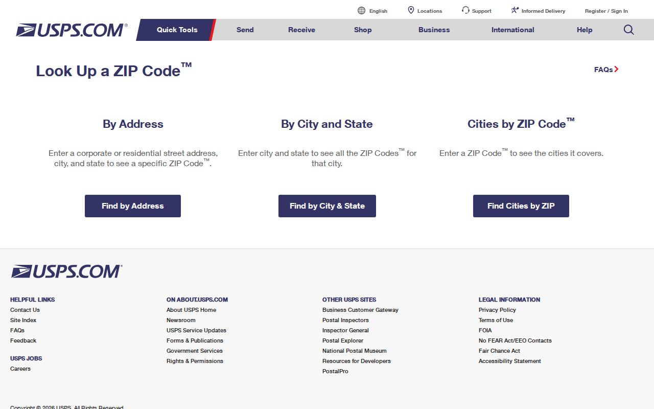
The USPS ZIP Code Lookup capture shows the final per-address verification step. It is more precise than inferring a ZIP from a city name or a map boundary.
Finding San Bruno Residents by ZIP
A ZIP-based resident search should narrow the place before it tries to identify a person. Start with a real address or a known 94066 location. Confirm the postal assignment through USPS. Use county GIS to compare the ZIP Codes and City Boundaries layers. If the question concerns parcels, record the APN. If it concerns a person, choose the official record that can answer the specific question, because RecorderWorks and the authenticated voter tool do not offer a general ZIP-wide people search.
- Validate the full street address with USPS and save the returned city and ZIP wording.
- Open the San Mateo County public viewer, turn on ZIP and City Boundaries, and identify the parcel.
- Use the APN for an assessor inquiry, deed search, permit file, or map comparison.
- For a named person, use a court, license, business, probate, obituary, or vital-record route that fits the purpose.
- Once a ZIP result narrows to a street, continue with the San Bruno street directory by address process.
Note: ZIP is a postal routing key; APN, legal description, and custodian record number carry more weight for public-record verification.
Map San Bruno ZIP 94066
The county viewer exposes ZIP Codes beside City Boundaries, Active Parcels, precincts, districts, subdivision maps, records of survey, corner records, assessor maps, contours, and tax-rate areas. Search by address or APN, accept the disclaimer, click the parcel, then pan to nearby lots. The map's visual method is the reliable documented approach because no ZIP search input in RecorderWorks or My Voter Status was verified.
A parcel layer can show where a ZIP line and city line meet. It cannot show all people at a parcel. Use the map to select the next record office, not to infer a household from a polygon. The county parcel service supports Query, Find, and Identify and caps responses at 2,000 records. The county GIS gateway is the source for the ZIP-layer capture below.

The county GIS capture shows how ZIP and city context can be viewed together. Layer alignment is a geography check, not a ZIP-based resident index.
ZIP Lines Versus San Bruno Limits
A ZIP code is a postal delivery construct, while a city boundary is an incorporated-government line. The two can cross. A San Bruno address can be near a neighboring postal city, and a row that mentions a San Bruno edge site can carry a neighboring ZIP. The safest answer is address specific: validate the postal line with USPS, then compare the county City Boundaries layer and the parcel location.
Do not use a ZIP alone to decide whether a record belongs to San Bruno city government, San Mateo County, South San Francisco, San Francisco International Airport, or another jurisdiction. A city permit, public-record request, or election file may follow a different boundary from mail delivery. The county map and official custodian together resolve the mismatch.
Boundary check. 94080 and 94128 are not general San Bruno ZIPs. Keep them out of a San Bruno ZIP code directory unless USPS verifies a particular address and the record question explains the exception.
San Bruno ZIP Search Keys
ZIP work becomes clearer when four different address terms stay separate. The ZIP routes mail. The situs is the physical location. The assessment mailing address receives notices and may point to an owner elsewhere. The legal description identifies the land in a deed. The APN is the county map and assessment key. The postal code starts the address check but should carry the other four keys when the question becomes a property or family-history question.
- ZIP code
- A postal routing code assigned to delivery addresses, not a city census boundary.
- ZIP+4
- A more specific postal extension. The research does not supply a local ZIP+4 list.
- PO-box ZIP
- A code used for a postal facility or box range. No San Bruno PO-box-only range was verified.
- Carrier route
- A delivery route beneath the ZIP level. It is not a public resident directory.
- APN
- The county parcel identifier that bridges map, assessment, permit, and deed work.
No official ZIP realignment year, local station name, or citywide renumbering chronology was located. That absence is a reason to validate a real address, not to fill a gap with a postal assumption.
San Bruno ZIP Code Directory Filters
San Bruno's major name and address systems do not expose one universal ZIP filter. RecorderWorks supports name, document number, book and page, recording date, document type, map, and predefined modes, but the research did not verify a ZIP input. My Voter Status authenticates one voter and does not browse a ZIP. The county GIS viewer shows ZIP geography but not a public list of everyone inside it. An assessor owner-name web search was also not verified.
| Tool | Useful ZIP-related action | What it does not provide |
|---|---|---|
| USPS lookup | Confirms a particular address and postal city | A residents list |
| County GIS | Displays ZIP and city layers beside parcels | Household names or a radius roster |
| RecorderWorks | Searches recorded instruments by its defined fields | ZIP-wide name browsing |
| My Voter Status | Returns the authenticated voter's services | Anonymous ZIP or street searching |
San Bruno ZIP Privacy Tools
California privacy systems matter when a ZIP search involves a person. DROP opened January 1, 2026, and lets a verified California resident send one free deletion or opt-out request to more than 600 registered data brokers. Identifiers can include name, email, phone, date of birth, ZIP, device ID, or VIN. Processing starts August 1, 2026, with recurring checks. DROP does not erase lawful deeds, assessor records, court files, or other government records that remain public. The California privacy portal and its system requirements are the sources for the capture below.
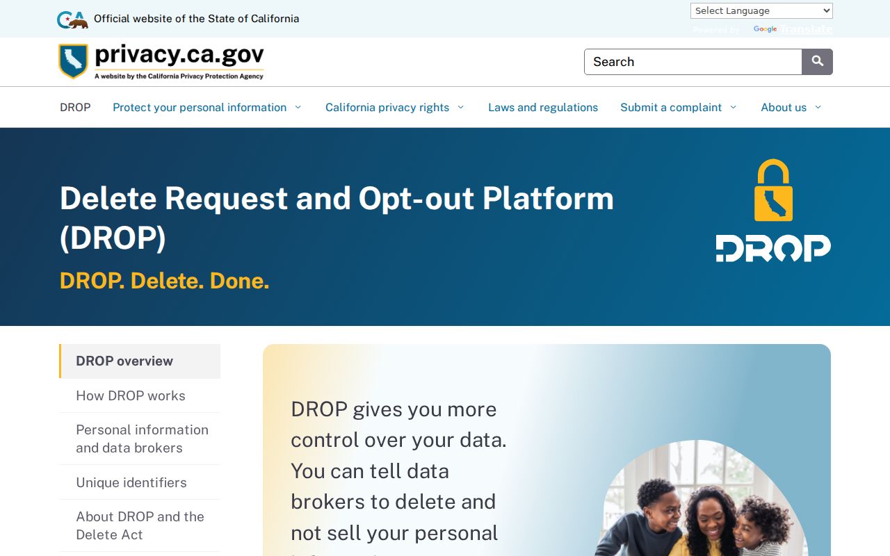
The California privacy portal capture shows the state route for broker deletion and opt-out requests. It is separate from county parcel and court custodians.
Safe at Home provides a substitute address and confidential voting for eligible participants. A missing address in a public search may be a safety protection. Do not combine a ZIP, parcel, or public deed clue to defeat a confidentiality program.
San Bruno ZIP Geography Limits
A postal list can help describe where a San Bruno address sits within postal geography. It cannot prove residence, title, household size, or present contact. The 2020 Census QuickFacts for San Bruno counted 43,908 residents, while a city-hosted snapshot reports 15,229 households and 2.90 persons per household for its stated period. Those figures provide context, not a name list. The same caution applies to ZIP maps, ZIP-area statistics, and commercial compilations.
When the ZIP question is really “who lived at this address,” switch to an APN, deed, permit, library directory, census schedule, obituary, or court record. When it is “who lives on nearby parcels,” use a map and the lawful access rules described in the neighbors and street workflows. Postal geography narrows the search. It does not decide the answer. The California Megan's Law search is the source for the official geography capture below.
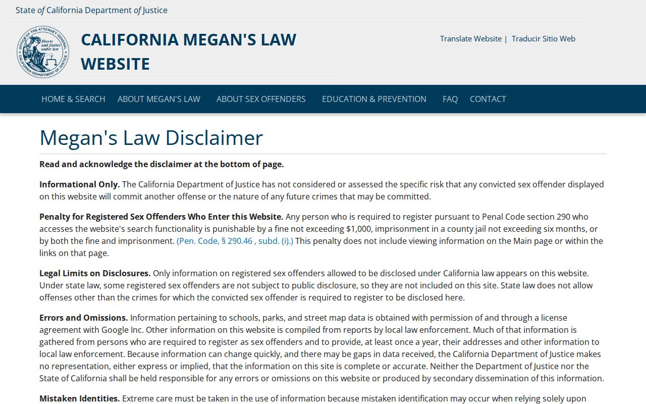
The California Megan's Law capture illustrates another geography-based official search with its own statutory warnings. It is not a general San Bruno resident list, and public address visibility varies by law.
San Bruno ZIP Code Directory Limits
The defensible local list is simple: begin with 94066, verify every real address with USPS, and treat 94080 and 94128 as neighboring or special contexts rather than extra general San Bruno ZIPs. The research did not locate a ZIP split or realignment year, a documented citywide renumbering project, a local station name, or PO-box-only ranges. A good ZIP code directory leaves those gaps visible. The DROP consumer request system is the source for the final privacy capture below.
Once the postal question is settled, move to the record custodian. GIS handles geography, ACRE handles property and recorded instruments, San Bruno handles municipal files, Elections handles qualified voter access, and the library handles historical collections. Each route adds detail without pretending that ZIP alone identifies a resident.
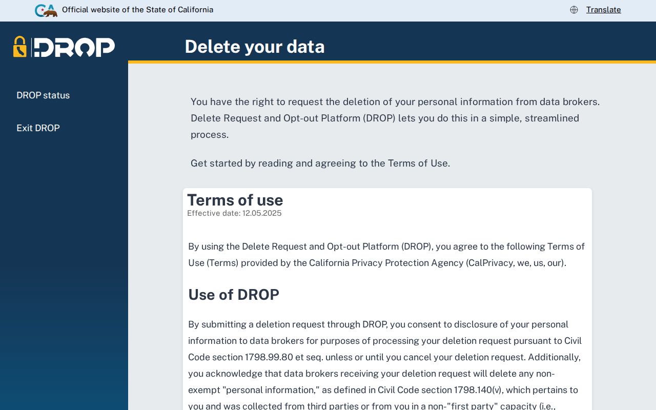
The DROP consumer request capture is a reminder that a person can control some broker data without changing the public postal or land record that remains with its custodian.