
What San Bruno Neighbors Data Can Show
A block lookup is a geography task first. The coverage table keeps public parcel evidence, community contacts, and controlled voter data in separate lanes. A map can show which lots touch. A deed can show a recorded transaction. A permit can show a project party. A neighborhood group can offer a way to participate. None of those records creates a complete list of the people living nearby.
| Source | What it shows about a block | Access |
|---|---|---|
| County GIS | Adjacent parcels, APNs, ZIP and city lines, zoning, precincts, districts, and survey layers | Free public viewer |
| Recorded deeds | Title parties, transfer dates, legal descriptions, and prior transaction links | RecorderWorks by defined fields; counter for older name work |
| San Bruno permits | Project, inspection, contractor, and address chronology | MGO, legacy eTRAKiT or city request |
| Voter information | Qualified residence, precinct, status, and election fields | Purpose-limited state or county application |
| Neighborhood Watch | How to join or start a civic group | City contact; no public member roster |
| Library and history files | Past names, addresses, events, yearbooks, and local community ties | Reference Desk and supervised collections |
The immediate block is smaller than a named-street search. Once the question expands to every parcel along a road, the San Bruno street directory by address workflow owns the longer chain. Neighbors work should stay focused on the selected address, its adjacent polygons, and the community layer.
Click San Bruno Parcels Around One Address
Open the San Mateo County public viewer, search the starting address or APN, accept the disclaimer, and identify the parcel. Zoom and pan to each lot that touches or sits across the street. Click the adjacent polygon and record its APN, city context, ZIP, precinct, and configured layers. No verified buffer or radius control was found, so visual click-and-pan is the documented local method.
The public viewer can turn on Active Parcels, ZIP Codes, City Boundaries, precincts, legislative and supervisorial districts, zoning, subdivision maps, records of survey, corner records, assessor maps, contours, and tax-rate areas. Use only the layer that answers the next question. A precinct boundary can explain election jurisdiction without opening a voter list. A survey line can explain a lot shape without naming a household. The San Mateo County GIS gateway explains the map layers, and the San Mateo County Elections page is the source for the capture below.
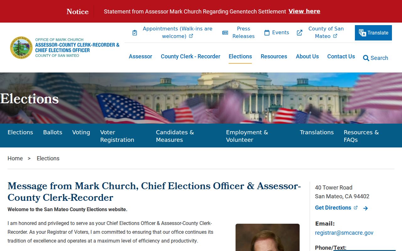
The county GIS gateway capture shows the geography step. The map supplies parcel choices for a neighbors search, not names of everyone behind those parcels.
- Adjacent parcel
- A mapped lot that touches or sits next to the starting parcel. It may have a different owner, use, and legal description.
- Situs
- The physical land location, distinct from an assessment mailing address.
- APN
- The county parcel number used to carry a lot from the map to another official record.
- Precinct
- An election geography. It does not open the voter file by itself.
Build a San Bruno Neighbor APN List
The cleanest block process is a short flow: address → county map → starting APN → adjacent polygons → APN list → official parcel, deed, or permit record. Follow each APN independently. Do not copy a name from one lot onto another, and do not treat a mailing address as proof that a person lives at the parcel. A trust, business, or absentee owner can receive notices away from the situs.
- Save the starting address, map date, and APN.
- Click each adjacent polygon and record its APN and layer context.
- Check assessor or property information for parcel and mailing evidence.
- Use deeds and permits only for the parties and roles those records name.
- Stop when the public record reaches a privacy, sealing, or access boundary.
This method is slower than a name list, but it is easier to audit. It also prevents a common error in San Bruno: treating the parcel map as a resident directory when it is only a land map.
Compare San Bruno ZIP, Precinct, and Zoning
San Bruno neighbors can share a street and still fall into different geographic systems. 94066 spans the east street grid and western hills. City boundaries, ZIP Codes, election precincts, zoning, and survey lines answer different questions. A block near a city edge can have a postal clue that points toward another city, while the parcel remains within San Bruno. The map should be read layer by layer.
USPS is the final authority for a real address and ZIP. The county GIS is the right context for parcels and boundaries. RecorderWorks does not provide a verified ZIP input, and My Voter Status does not allow anonymous block browsing. Keep the postal answer, land answer, and election answer in separate notes.
San Bruno Parcel Deed and Permit Trail
After the APN list is stable, follow each parcel to the assessor and deed route. RecorderWorks provides party-name indexing from 1985 and can search document number, book and page, recording date, type, map, and predefined modes. It does not search a street address as a simple list. Public web property-owner names are suppressed for identity-theft protection, so a block project may require an office counter, known document identifier, or properly specified copy request.
San Bruno permit work adds another layer. MGO Connect covers current project and inspection history from July 1, 2024. Older permits and plans are associated with eTRAKiT, OnBase, and the city counter. An applicant or contractor is a named project party, not necessarily a neighbor or household member. Record the role exactly and keep the address tied to the APN.
Note: Parcel, deed, and permit records describe land or projects; a neighbors conclusion needs a separate lawful source for any person claim.
San Bruno Voter Data at Block Scale
California My Voter Status is an authenticated self-lookup. It returns a voter's registration status and address, party and language preference, ballot status, polling place, election information, and county contact after identity matching. It does not permit an anonymous person to browse neighbors by street or ZIP.
A full county or statewide file is a different access channel. The requester must fit a qualifying election, scholarly, journalistic, political, or governmental purpose and supply identity, documentation, purpose, security, signature, payment, and delivery details. State and San Mateo County applications describe different fees and formats. Elections Code sections 2188, 2194, and 18109, with related regulations, restrict casual personal or commercial use, solicitation, harassment, and handling outside the stated purpose. The San Mateo County voter-file instructions are the source for the capture below.
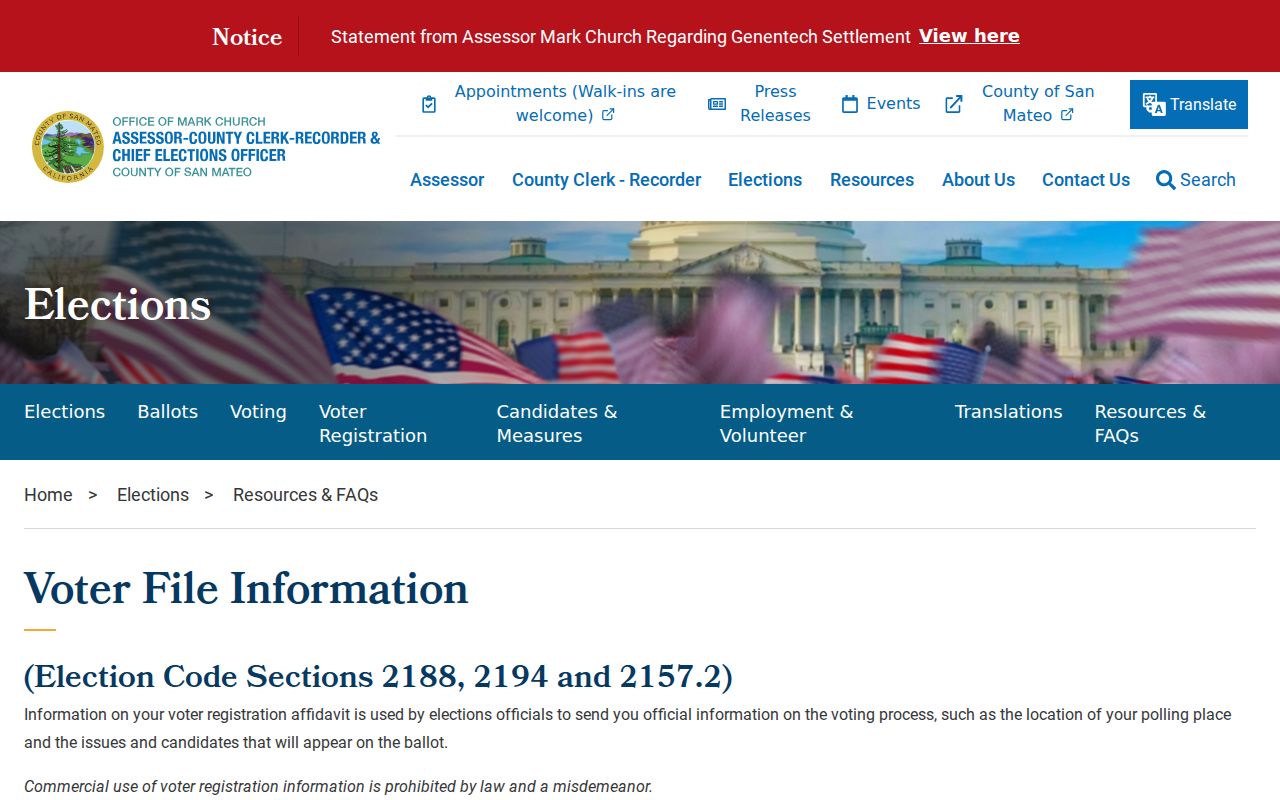
The San Mateo County voter-file capture shows the controlled application route. It is not a public block roster, and confidential or protected voters are excluded.
San Bruno Neighborhood Watch Contacts
San Bruno's official Neighborhood Watch route is a community contact, not a resident directory. The city says many neighborhoods have groups but publishes no names or member list. Support Services Officer Denise Zeron is listed at 650-616-7129 for joining or starting a group. That contact can help a person participate in a civic safety program without exposing private member information.
Neighborhood Watch
Join or start a group
650-616-7129
Support Services Officer Denise Zeron
Crime Prevention Committee
Public civic meeting
7 p.m. second Thursday
City Hall Conference Room 101
Committee names and meeting details show a public civic role, not a list of neighbors. No official inventory of San Bruno HOAs or private member directories was found. Do not substitute social-media lists, private message groups, or informal claims for a custodian-held record.
San Bruno Crime Prevention Committee
The Crime Prevention Committee meets at City Hall and helps new Neighborhood Watch groups. Its public function is prevention education and community coordination. It can be useful when the goal is to meet neighbors through an official civic channel, learn how a group works, or ask about starting a block program. It does not certify who lives on a block, disclose a member roster, or turn incident information into a finding about a person. The Attorney General Safe at Home guidance is the source for the privacy capture below.
Crime-map dots and police reports require the same care. An incident record is not a conviction, and a person named in a releasable report may be a witness, victim, reporting party, or other role. Contact the city or police records custodian about access rather than inferring a neighbor's history from a map marker.
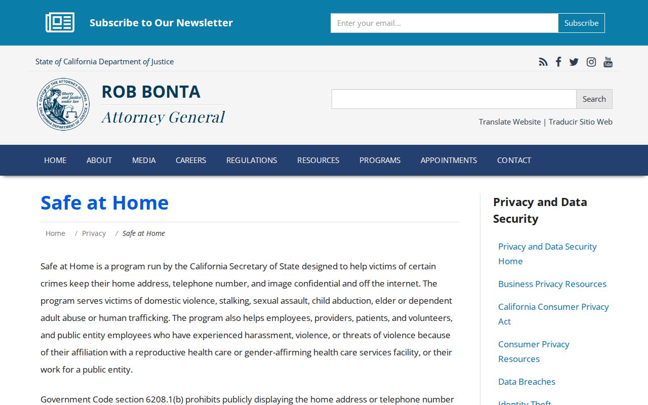
The Attorney General privacy guidance capture explains why a protected address may not appear in a block search. A privacy program is a safety measure, not a data error to work around.
San Bruno Grid and Hillside Blocks
San Bruno's eastern grid and western hillside subdivisions create different block shapes. The older grid is easier to browse street by street. Curved hillside roads can make the nearest parcel appear across a slope or at a different map angle. I-280, Sneath, San Bruno Avenue, Crystal Springs, and Jenevein or Whitman connections help orient the broad geography, while I-380, El Camino Real, and Skyline act as larger reference lines.
Use the map's parcel polygons rather than a visual guess about which house is next door. A block boundary can follow a street, a lot line, a district, or a hillside edge. The neighbors around an address are defined by the documented map relationship, not by a broad neighborhood label.
San Bruno Neighbor Tools Compared
Private neighbor tools may promise a ready-made list, but their data can be stale, merged, or drawn from uncertain inputs. Official sources are slower because each has a purpose, custodian, and access rule. The comparison makes the tradeoff visible without treating either category as a complete block directory.
| Question | Official source | Private compilation |
|---|---|---|
| What is the starting key? | Address, APN, case, document, or declared voter purpose | Name, address, or mixed profile |
| What does it establish? | The land, filing, event, role, or field recorded by the custodian | An unverified lead that may need correction |
| How is access limited? | Redaction, sealing, fee, purpose, authentication, or supervised use | Terms, paywall, stale data, and unclear provenance |
| Where is an error fixed? | With the county, city, court, library, or state office that created the record | With the private operator, without repairing the source |
For a block question, the county map and an official civic contact are usually more honest than an alleged neighbor roster. If a named person matters, use the one-person verification workflow and respect the source's purpose.
Privacy Limits on San Bruno Neighbors
Public parcel maps do not systematically reveal every occupant, household member, utility customer, delivery recipient, protected voter, minor, or participant in a confidential address program. DMV address information is protected by federal law. A deed identifies a recorded title party. A permit identifies a project party. A voter file is purpose limited. None is a casual neighbors list.
Safe at Home supplies a substitute address and confidential voting for eligible participants. DROP can remove matched nonexempt data from registered brokers, but it does not delete lawful deeds, assessor records, court files, or map geography. Do not combine a public parcel clue with another source to defeat a safety program.
Lawful neighbor research. Use block records for personal history, property curiosity, civic participation, or a defined public-record question. Do not use a neighbors lookup to stalk, harass, intimidate, or harm anyone.